
Your shopping cart is empty!
Categories
- Agriculture +
- Anthropology
- Archaeology
- Arts & Photography +
- Bangladesh Studies
- Biographies & Memoirs +
- Business, Economics & Investing +
- Children's Books
- Development Studies
- Education & Reference +
- History +
- Home, Garden & Hobbies +
- Journals & Reports
- Law +
- Literature & Fiction +
- Population and Housing Census
- Reference Book +
- Religion & Spirituality +
- Sciences & Technology +
- Social Sciences +
- Travel +
- Women's Studies
- Statistics

Small Area Atlas of Bangladesh: Mauzas and Mahallahs of Noakhali District
Price:
U$50.00
Publisher: Bangladesh Bureau of Statistics
Authors: Bangladesh Bureau of Statistics (Author)
Edition: 1st edition
Page: 75
Format: Paperback
Language: English
Publication Date: July 1, 1986
Product Code: B007UPKUSA
Availability: In Stock
Condition: New Book, Never used
Qty:
Authors: Bangladesh Bureau of Statistics (Author)
Edition: 1st edition
Page: 75
Format: Paperback
Language: English
Publication Date: July 1, 1986
Product Code: B007UPKUSA
Availability: In Stock
Condition: New Book, Never used
Qty:
 (
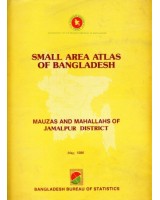
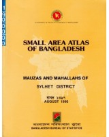
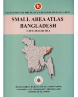
(Small Area Atlas of Bangladesh showing location of mauzas and mahallas of rural and urban areas is the direct outcome of the Nation-wide Geo-coding system developed by the Bangladesh Bureau of Statistics. The Atlas will be published in twenty volumes one for each of the former districts. To enhance its user friendliness, the Atlas contains three guide maps viz. one national map and two district maps at the beginning. An user's guide comprising definition of the various terms used in the atlas and elucidation of the Geo-code system has also been included. Each volume will contain the maps of all mauzas in the district arranged by upazilas and unions on uniform scales so that the mauzas can be compared amongst each other as to their physical size. Corresponding tables of selected statistical information relating to Household, Population size Area presented for each mauza arranged again by unions and upazilas have been included. For ease of linkage, the related tables are placed opposite to the maps. The household and population figures relate to 1981 population census and mauza or mahalla areas are based on the latest estimates. In some cases, mauza area had to be estimated directly from maps with the help of planimeter. The list of mauzas for each district is nearly complete; in certain cases there still seem to be some confusion as to the identity of the mauza, whether it is a para, village or mauza; there can similarly be some omissions as well. Such cases have been brought together as a memorandum item. Through further scrutiny both in the field and head quarters such cases will be hopefully eliminated or further narrowed down in the future. In addition to mazuas, the atlas provides separate maps for each of the municipalities located in the districts. The municipal maps show boundaries of the municipality and location of wards and mahallahs within each municipality. Another map showing ocation of other urban areas and upazila headquarters has been included.
| Product Condition & Shipping Information | |
| Used Like New | Personal collection copy, some stamps or tickets. A readable copy. All pages are intact, and the cover is intact. |
Write a review
Your Name:Your Review: Note: HTML is not translated!
Rating: Bad Good
Enter the code in the box below:
Do you have any questions about Small Area Atlas of Bangladesh: Mauzas and Mahallahs of Noakhali District?
 Your Name:
 Your Email:
 Your Question:
Enter the code in the box below:
Related Products
Information
Customer Service
Extras
Follow Us
Online Support
- +8801615010058
- + Skype
© 1995-2024 Rubi Enterprise.
Design & Maintenance by Rokib.
Powered by OpenCart.